 CIRP
Research / Physics-Informed AI for Scientific Instrumentation / Evaluating frontier models for imaging applications
Satellite-Derived Shorelines
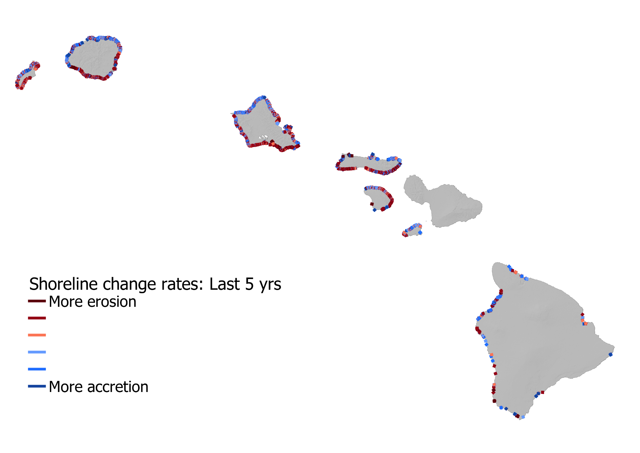
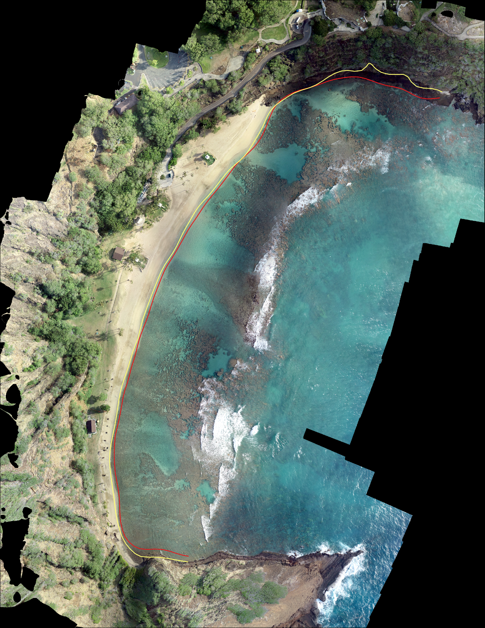
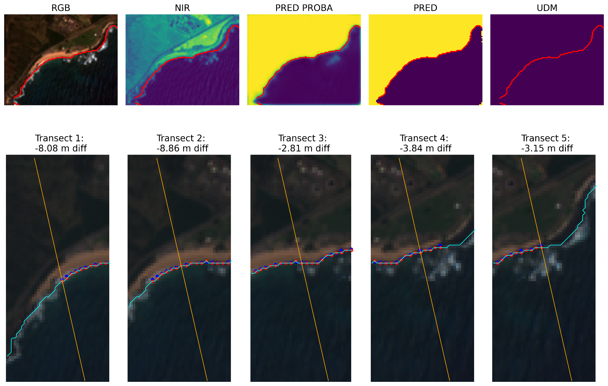
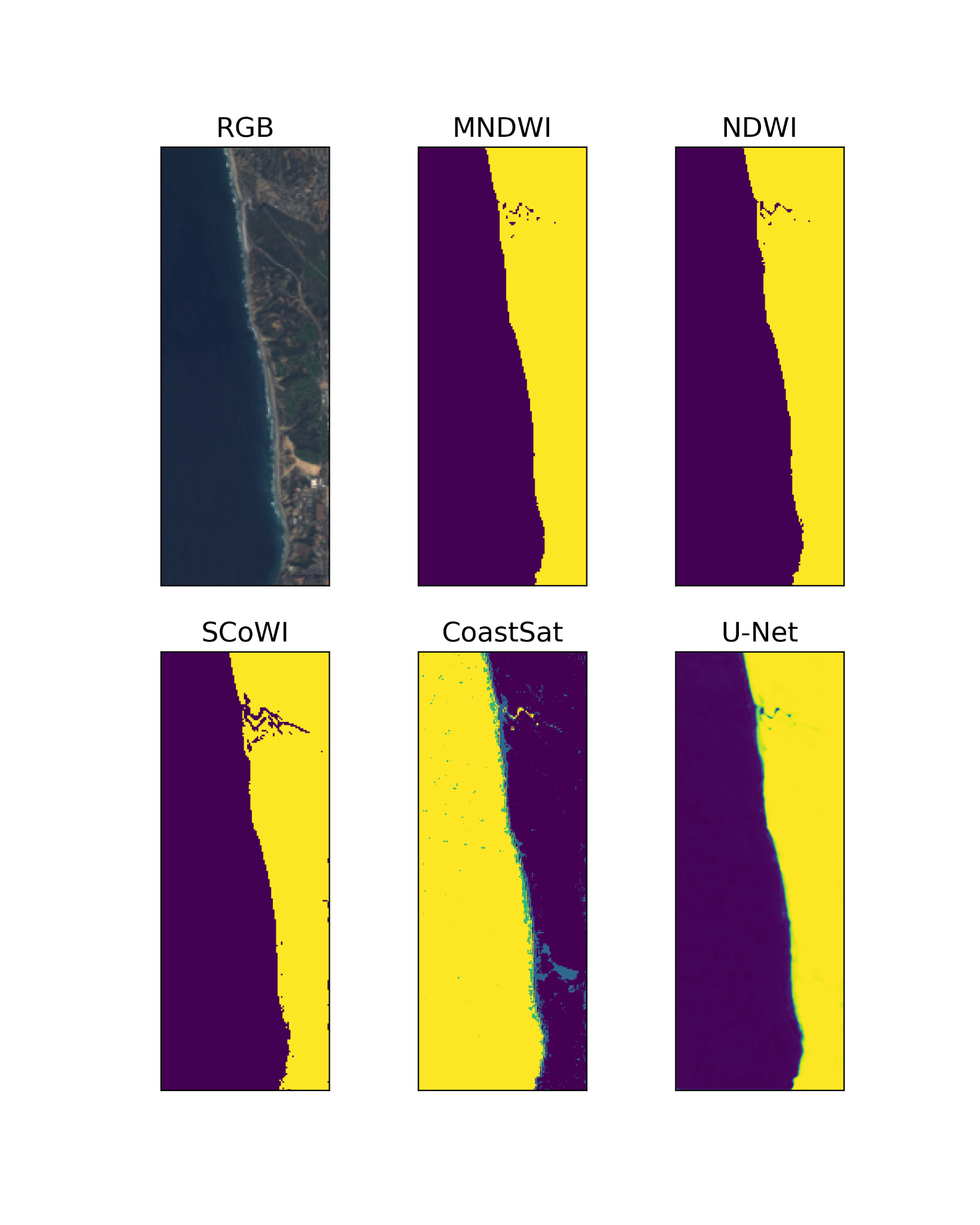
We compare shorelines estimated from satellite images with reference shorelines to test how well mapping methods transfer from one coast to another.
Project overview
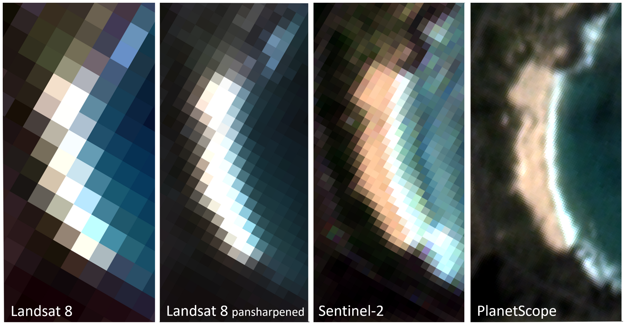
Field and aerial surveys are costly, and a method that detects the shoreline on one coast can miss it on another. We use hand-labeled satellite images and reference shorelines from Hawaiʻi and elsewhere to compare geospatial foundation models, other pretrained vision models, lightweight neural networks, and traditional thresholding methods. We’re building a common benchmark and open-source mapping tools for researchers, coastal managers, and communities.
Project media
Project team
Project lead
Joel Nicolow
Principal investigator
Dr. Charles Fletcher